
Updating the integrated flood hazard map and the integrated flood hazard class map for publication in the Environmental Atlas, and the production of an integrated depth map for Q100
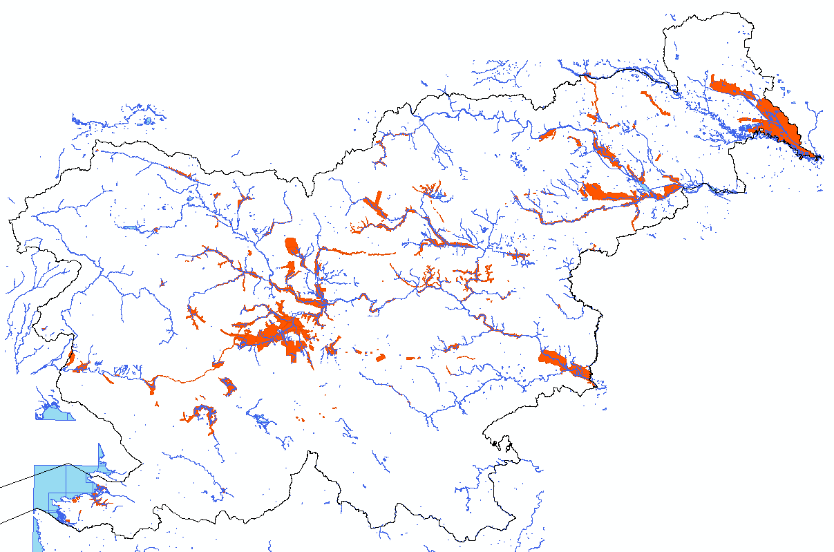
For the purposes of implementing the Regulation on the conditions and restrictions for carrying out activities and interventions in areas at risk of flooding and associated erosion of inland waters and the sea (Official Gazette of the Republic of Slovenia, No. 89/08) in connection with the preparation of national spatial plans prioritised by the state, a register of HH studies was established for which the Institute for Spatial Planning (IzVRS) and the Agency for Environmental Protection of the Republic of Slovenia (ARSO) issued opinions on compliance with the methodological guidelines, and a data layer was produced at the k.o., which was published in the Environmental Atlas. The studies were carried out as part of the procedures for preparing National Spatial Plans (DPNs), municipal spatial acts and projects for obtaining planning permission. In 2012, an integrated flood hazard class map for the territory of the Republic of Slovenia was produced for the first time on the basis of the register and the acquired vector data layers.
The aim of continuing to develop data layers to update the comprehensive map is to provide a tool for assessing spatial interventions from the perspective of flood risk and vulnerability. This will enable the proactive optimisation of spatial planning procedures, as planners and investors will have more accurate data on flood hazard. The vector data layers are displayed in the Environmental Atlas.
The contents of the integrated flood map are:
- the iKPN integrated flood hazard map (iKPN_OVR, iKPN_Q10, iKPN_Q100, iKPN_Q500, OHM_notes)
- integrated flood hazard class map iKRPN (iKRPN_OVR, iKRPN_Pm, iKRPN_Pp, iKRPN_Ps, iKRPN_Pv, OHM_notes)
- Integrated depth maps at Q100 (iKG100_OVR, iKG100_Gm, iKG100_Gs, iKG100_Gv, iKG100_OHM_notes)
Sources:
The integrated flood hazard map is compiled using the results of existing HH studies, which have so far been approved by IzVRS or ARSO.
The data layer is updated twice a year and submitted to the Ministry of the Environment and Spatial Planning (MOP), which, following approval, forwards it to ARSO for publication on the Environmental Atlas.
Keywords
Integrated flood map; low flood risk class (Pm); residual flood risk class (Pp); medium flood risk class (Ps);
About the project
REPUBLIC OF SLOVENIA MINISTRY OF THE ENVIRONMENT AND SPATIAL PLANNING
Mladen Ajdič
#Branko Damjanovič #Branko Klinc #Dr Dunja Zupan Vrenko #Maja Kregar #Mitja Peček #Mojca Stele Jeglič #Tina Mazi
OTHER DOMESTIC REFERENCES
