
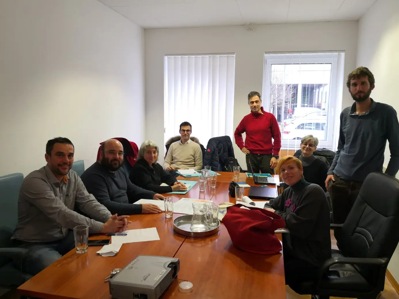
We sought an answer to this question during the last few days of December at a working meeting of the partners with whom we are collaborating on Work Package 3.1, where we are preparing a Long-Term Cross-Border Plan for the Development and Protection of Green Infrastructure on the Soča, Vipava and Livenza rivers. The GREVISLIN project is co-funded by the Interreg Italy–Slovenia Cross-Border Cooperation Programme. The meeting took place in Nova Gorica, at the headquarters of the lead partner, RRA Severne Primorske. In addition to experts from the Slovenian Water Institute, the meeting was also attended by representatives from the regions of the Julian Alps and Venice, as well as experts from the University of Udine.
The purpose of the meeting was to review the work carried out and agree on the next steps. As this is an international cooperation project involving neighbouring European countries that are bound by the same legal frameworks, there are nevertheless significant differences in the content and quality of data due to differing historical contexts and approaches. Despite these differing starting points, we are constantly striving to carry out the work on Work Package 3.1 using the same approach, so that we can bring the results into line with a common standard.
At this meeting – the second in the series and also the second in 2019 – we devoted a considerable amount of time to discussing and seeking an answer to the question of what constitutes the green infrastructure that we will be addressing within the GREVISLIN project. Following consultation, we agreed that the starting point from which we will develop green infrastructure is an envelope comprising the sum of the outer boundaries of floodplains, the coastal strip and protected areas. The aim of developing green infrastructure is to establish connections between similar areas horizontally within the envelope, which are then linked vertically with similar areas outside the envelope. To summarise briefly, green infrastructure along rivers is defined by the river’s area of influence, which in some cases is simply referred to as the riparian corridor.
The next working meeting will take place at the end of March 2020. Until then, the partners in this work package must carry out their preparatory work, namely to identify green infrastructure along rivers in their respective areas, based on the agreed starting points.
You can also follow the project’s activities on social media.
https://www.facebook.com/GREVISLIN/
https://www.ita-slo.eu/sl/grevislin

 Source: the project’s social media channels