
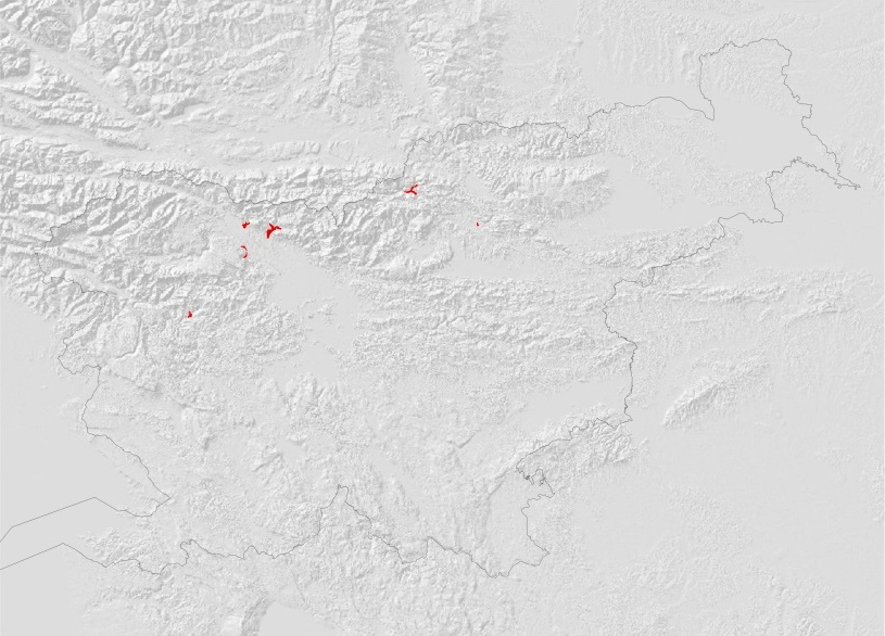
The method and content of the preparation of flood hazard maps and flood hazard class maps are set out in the Regulations on the methodology for determining areas at risk from flooding and associated erosion of inland waters and the sea, and on the method of classifying land into risk classes (Official Gazette of the Republic of Slovenia, No. 60/2007) and the Regulation on the content and method of preparing a detailed flood risk reduction plan (Official Gazette of the Republic of Slovenia, No. 7/2010).
Flood hazard maps cover geographical areas where the following types of flooding may occur:
- floods with a low probability of occurrence, or floods resulting from exceptional events,
- floods with a medium probability of occurrence, i.e. a 1 per cent probability of occurrence,
- floods with a high probability of occurrence, where appropriate.
For each type of flood referred to in the previous paragraph, the following information must be provided:
- the extent of the flooding,
- water depth or water level, as appropriate, and
- flow velocity or the corresponding discharge, where appropriate.
The preparation of flood hazard maps for coastal areas where an appropriate level of protection has been established, or for areas where the cause of flooding is groundwater, shall be limited to the type of flood referred to in the first indent of the second paragraph of this Article.
Keywords
About the project
Kosma REPUBLIC OF SLOVENIA MINISTRY OF THE ENVIRONMENT AND SPATIAL PLANNING
Tina Mazi
#Blažo Đurović #Branko Klinc #Darko Anzeljc #Dušan Rebolj #Janko Zakrajšek #Katja Sovre #Milan Alič #Mitja Peček #Mladen Ajdič #Mojca Stele Jeglič
OTHER DOMESTIC REFERENCES
